


Volanti/Fondo
€10.35
(tax incl.)
€11.50
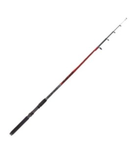
The construction of Dashiko V Glass combines compacted high-density fiberglass together with a micro-braid that provides unparalleled curvature in blanks in its category.